
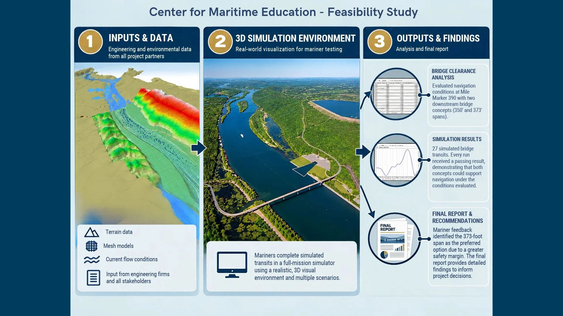
SCI's Center for Maritime Education helps project developers evaluate navigation risks and make more informed decisions before construction begins.
When engineers design new infrastructure along America's working waterways, they face a key challenge: How can they be sure what works on paper will also work for the mariners navigating those waterways every day?
A new bridge, dock, or other waterfront structure can change how vessels move through an area. River currents, vessel size, traffic, and limited maneuvering room all affect navigation. Even a small design difference can have significant safety implications.
In 2025, CME partnered with HDR and the Tennessee Valley Authority (TVA) on a study supporting the proposed Rorex Creek Pumped Storage hydroelectric facility near Pisgah, Alabama. The project involved evaluating navigation conditions along the Tennessee River at Mile Marker 390, including a proposed water discharge and withdrawal structure and two downstream bridge designs with spans of 350 feet and 373 feet.
The question was whether commercial vessels could safely navigate the proposed bridge openings and whether one design offered advantages over the other.
Using a combination of desktop analysis and full-mission maritime simulation, CME helped the project team evaluate both options under simulated operating conditions. Experienced mariners completed 27 simulated bridge transits, and every run passed. Both bridge concepts demonstrated they could accommodate navigation under the tested conditions. But the simulations revealed something more.
Although both designs passed, the participating mariners preferred the 373-foot span. The added width provided a greater safety margin, giving vessel operators more room to respond to currents, traffic, and other challenges they encounter on the river. That distinction matters. A design can meet technical requirements without necessarily offering the best operating conditions for the people who must navigate through it.
By bringing experienced mariners into a realistic simulation environment, CME helped the project team see beyond engineering specifications and better understand how the proposed designs would perform in practice. This is the problem CME helps solve. Infrastructure developers need confidence that their projects will work safely and effectively within active waterways. CME provides a way to test proposed designs, identify potential navigation concerns, and compare alternatives before costly construction decisions.
For engineering firms, government agencies, and maritime infrastructure developers, these studies provide valuable information to reduce uncertainty, inform design choices, and support safer navigation. This approach brings together technology, engineering, and the practical experience of professional mariners to answer a critical question before construction begins: Will this work on the water?
Know Before You Build.
SCI's Center for Maritime Education works with engineering firms, maritime operators, and government agencies to evaluate proposed infrastructure projects through advanced simulation and feasibility studies. To learn how CME can support your next project, contact our team at cme@seamenschurch.org.
